-
Road Trip: Day 35
Posted on October 2nd, 2012 No commentsTo my surprise I woke-up this morning and could actually move my extremities! I figured that I’d at least have a difficult time getting out of bed, but for some reason I had no troubles. After breakfast at the hotel I headed out into a bustling town.
Moab was awake and full of people… the hotel was sold-out and the parking lot was full of Jeeps. I wasn’t expecting this, especially mid-week after labor day, but then I realized… this is the busy season (summer is just too hot).
Yesterday I didn’t drive to Dead Horse Point and thought I might be able to fit it in today, but I just wasn’t feeling it… besides, by 9:30am the light was getting too harsh for good photos. I did tweak my route a little bit to optimize the scenic locations I traveled through, so that counts for something.
Much of the morning was spent having fun with passing lanes, and boy do I like passing lanes! There aren’t many cars on the road that can keep-up with mine through 4th gear… and it’s fun to test it. Being able to pass at a moment’s notice is just awesome. That being said, I spent most of the time relaxing and not passing people so that I could stop to take photos (without being an ass).
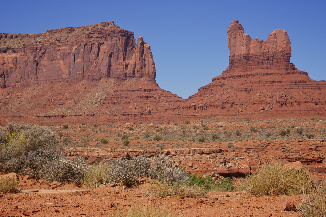
When I reached Monument Valley I just had to stop and take a photo of the road. I think I’ve started a new tradition for my road trips… trying not to get run over while sitting (literally) in the middle of the road.
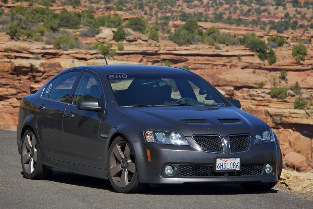
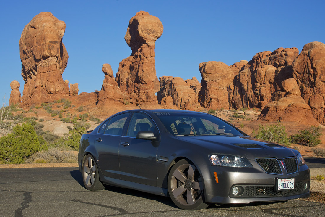
While stopped I also took a few photos of the G8. Of course I took one with the road in the background, but posting that here would be a bit repetitive (see Facebook). Here is one of the G8 in the deserts of Utah.
At this point my route took me into Arizona, the last different state I’ll be traveling in this trip. Looking back at the journey so far, I really have traveled a long ways!
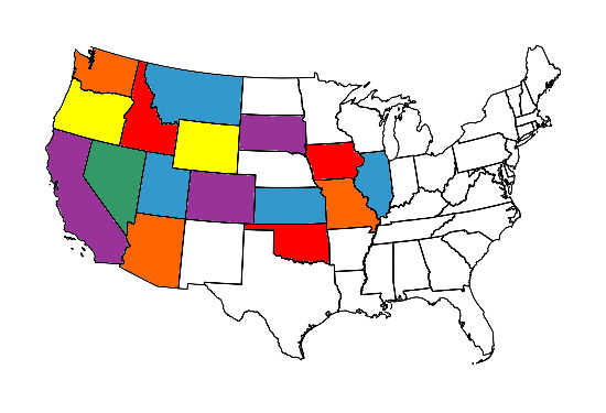
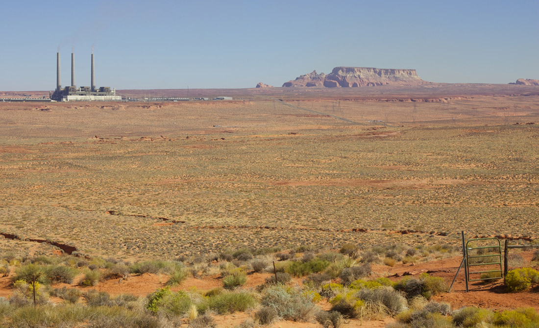
Today’s route was very scenic… One moment I was driving along a mesa, the next I plunged into a deep canyon. Just about everywhere I turned there was another photogenic view. I even saw a large arch just steps from the freeway… ‘sigh. While I didn’t stop to photograph the arch, I did pullover several times to capture the scenery.
My trip today was short and I arrived in Page, AZ early in the afternoon. Since I had lots of time, I decided to take a short “hike” to a Glen Canyon Dam scenic overlook that was just down the street from my hotel.
After checking into my hotel, and learning that I gained an hour due to the funky Arizona timezone, I spent the remainder of the afternoon waiting for the hotel’s restaurant to open. I got a great parking spot, and didn’t want to give it up, but I should have… as the food wasn’t great (and that’s from someone who’s previous meal was a hotel breakfast 9 hours earlier).
Tomorrow I’ll be checking-out the Grand Canyon on my way back into Utah, so I best take advantage of the “extra hour” and get a good night sleep!
-
Road Trip: Day 34
Posted on October 1st, 2012 No commentsWow… today was an exhausting day; and it had nothing to do with the drive!
I woke-up at a reasonable time and packed-up my hotel room before heading out on the road. I considered grabbing a photo of the G8 at the local airport (sample), but decided there would likely be better photo locations on today’s drive.
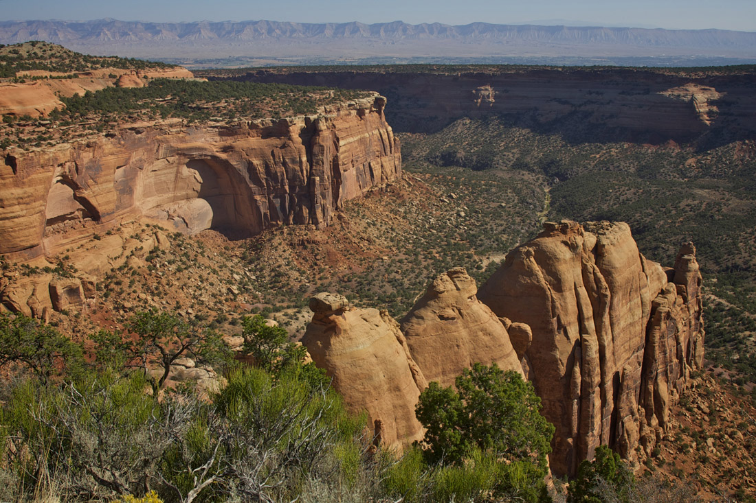
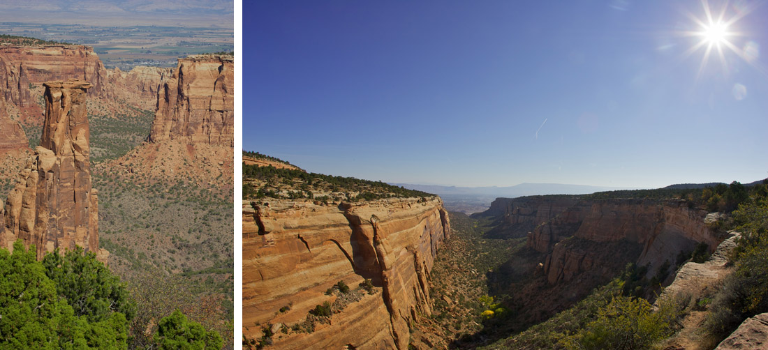
The first place of interest for the day was Colorado National Monument. The road was well maintained and I climbed quickly up the plateau on Rim Rock Drive. This road is properly named, as it winds its way around the rim of several deep canyons. The lack of guard rails kept the speed limit down, but I was too busy looking out at the scenery to notice.
I really wanted to setup a photo of the G8 with the canyons, but after trying… and failing… at several locations I was starting to give-up hope. One place I had a great photo in mind, but needed a couple to move their car. I waited… and waited… and waited… but they didn’t move. When they broke-out the pretzels I gave-up hope and moved-on, but it turned out to be a blessing in disguise.
The next pullout was at Monument Canyon and I got some incredible photos, including several of the G8!
After my fill of photos I descended the switchbacks that navigated down the nearly vertical walls of a canyon. I’d have loved to really push hard here, but I kept it reasonable… only doing 10mhp above the “recommended” corner speeds.
From here I jumped on I-70 until my GPS instructed me to drive into the middle of nowhere. I knew I was on the right road, so just kept going, but it seemed like I was going to get lost in the desert. I passed through the ghost town of Cisco before seeing the signs guiding me towards Moab, Utah.
The road to Moab, Utah 128, was great. Following the Colorado River meant there were lots of sweeping turns, and the speed limit was just right for some “spirited driving”. The views were also incredible, so I again found myself stopping frequently to take photos.
While I loved being in the G8, this area really deserves to be driven in a Jeep. There were so many great looking trails leading from the road, it would have been awesome to go explore… too bad the G8 has zero ground clearance!
I needed to get gas, so quickly stopped by Moab before heading out to Arches National Park. For anyone that hasn’t been to Arches; you need to go! The scenery is just breathtaking.
My goal for Arches was to find an arch to take a photo of. I’d programed a few places (that looked good online) into my GPS, so figured it would be a “slam dunk”. Boy was I wrong…
The first planned stop was at Devil’s Garden to see the Landscape Arch. I parked the G8 at the trail head and grabbed my camera/backpack and set-out for a “short walk”. Well, the “short walk” was actually a 1.5 mile hike… and I was not prepared for it (no water, worn-out tennis shoes, long pants, etc.). After getting about a half-mile in I still hadn’t seen any sign of the arch… so turned back. In hindsight I should have kept going, because then I’d have met my objective and not needed to suffer any more.
Since I failed at my first attempt, I stopped at Broken Arch and again set-out to get a photo. The trail wasn’t difficult, but I could see the arch in the distance… and wasn’t impressed at this point. I put on my telephoto lens and snapped a few lousy photos before heading back.
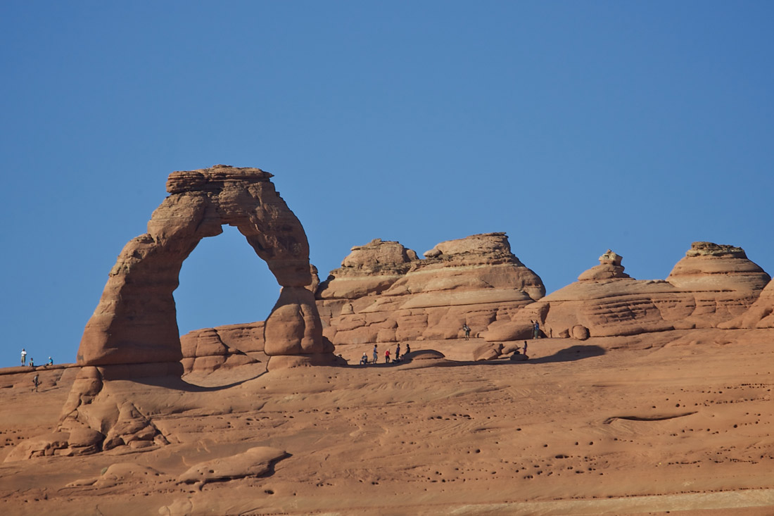
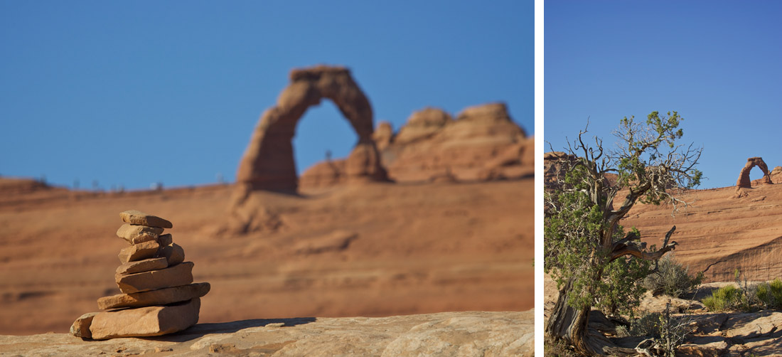
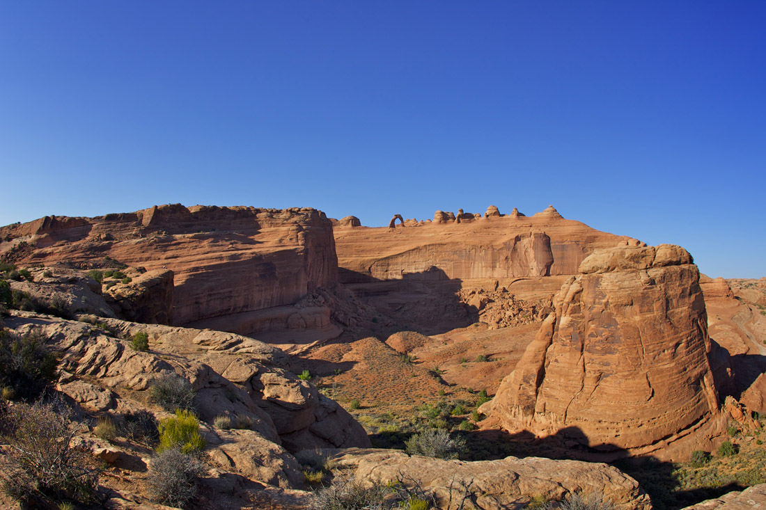
After two strikes I had to get an arch photo… no matter what it took. I headed to the Delicate Arch viewing area, but was not happy with the photos from the lower viewpoint. Not wanting to leave Arches a complete failure I pushed forward to the upper viewpoint!
Yikes… what was I thinking!?! To quote the park guide “a moderately strenuous hiking trail climbs one-half mile (elevation profile) toward Delicate Arch and ends at the rim of a steep canyon that separates the viewpoint from the arch”. I survived, but won’t be climbing Everest any time soon! Fortunately the photos were worth it.
Before heading out of the park I stopped one last time to get a photo of the G8 in the golden light produced by the setting sun.
I had planned on going to Dead Horse Point, but the sun was getting low in the sky and I was wasted after all of the hiking… so called it a day.
Tomorrow is a bit of a “recovery day”, as I’m driving a direct route towards the Grand Canyon. Maybe if I’m feeling refreshed in the morning I can swing by Dead Horse Point, but based on how my body feels right now… just getting out of bed before noon is going to be an accomplishment!
-
Road Trip: Day 33
Posted on September 30th, 2012 No commentsYesterday when I checked into my hotel I was offered the option of a “late checkout”, but there was no way I was going to be sleeping late today… I had hours of twisty roads to drive!
It was 40°F when I went out to the G8, so it took me a little while to warm everything up. I made my way to Carbondale before stopping for gas and breakfast, and with my tanks full I started down Highway 133. It was early for a Sunday and the road was almost empty, which made for a great drive.
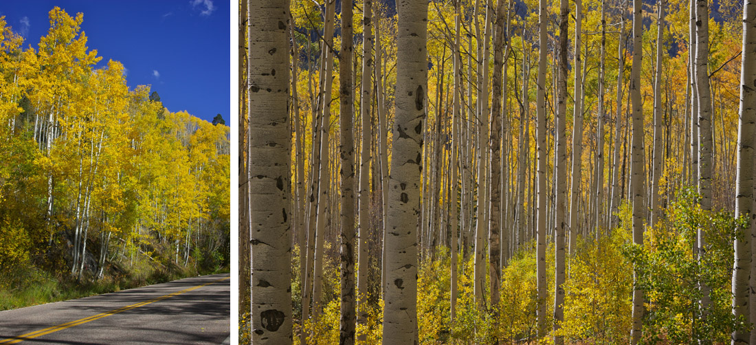
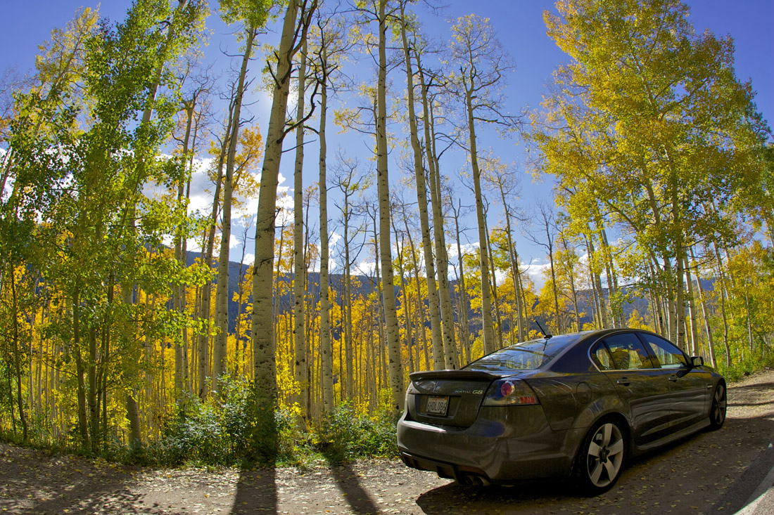
The road followed a river, so again I found myself surrounded by Aspens with color-changing leaves. There were a couple other cars pulled over with people taking photos, and I didn’t want to look like a tourist, so kept driving. At first the road was at the bottom of the canyon, but at one point it turned sharply and climbed steeply up and out through McClure Pass.
My favorite part of today’s drive was Highway 92 around the Black Canyon and the Morrow Point Reservoir.
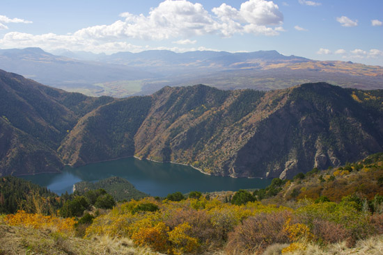
The roads were empty, speed limits reasonable, and the scenery was spectacular. How good was it? I drove it 3 times! The first time through I was enjoying the roads, trying to think how I could share the experience with others… when I remembered I have my GoPro!
After driving the route with the video camera I made another pass taking a few moments to stop and take photos.
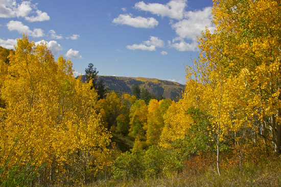
After returning to civilization and eating lunch I made my way towards the Grand Mesa. The climb up the mesa was great, as I was chasing two motorcycles. I would have liked to push a bit harder, but I didn’t want to crowd the bikes (the second rider seems a bit timed). Unfortunately the bikes pulled-off to take some photos, so I had to go play on my own.
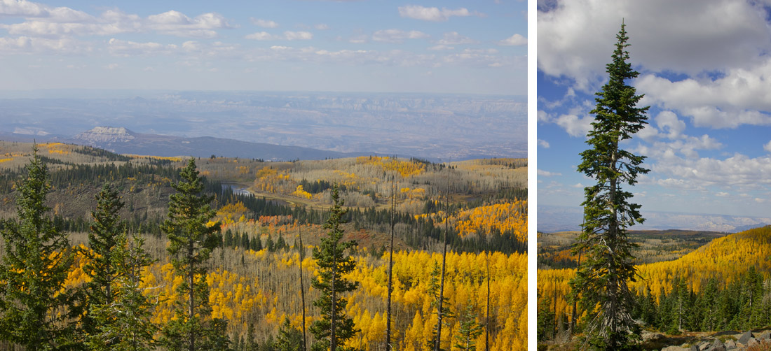
I know I’ve taken a ton of photos of the golden leaves, but the views from the top of the mesa was just too good to pass-up.
The last portion of today’s drive was at the bottom of a meandering canyon carved by the Colorado river; the walls must have been at least 200 feet straight up! Traffic had increased, but at this point I wanted to get to my hotel to look at the photos and video from earlier today.
Tomorrow I’ll be doing a mix of mountain climbing, interstate cruising, and national park exploring. It’s going to be a long day, but I’m looking forward to seeing some of the landmarks that make Utah famous.
-
Road Trip: Day 32
Posted on September 29th, 2012 No commentsThe past few days have been a bit scrambled due to the inclement weather “dumping” snow on the roads I wanted to drive. I could have moved-on early, but I spent yesterday relaxing while I waited-out the storms. When I woke-up this morning I checked the various webcams and it looked like my patients paid off!
With blue skies and a road that looked to be snow free I rushed out of the hotel and set my sights on Pikes Peak! Turns out yesterday I was just down the street from Pikes Peak, but with all the clouds I didn’t realize it. After paying my admission I began my climb to the summit!
I was somewhat disappointed by the slow speed limits, mostly 25 or 35mph, but I can understand it. There were quite a few cyclists on the road, and with few guardrails, high speeds wouldn’t have been advised. As a reminder, I even saw the skid marks on the pavement from where a competitor had their throttle stick at this year’s Pikes Peak Hill Climb. It’s really hard to believe these guys can make the climb in less than 10 minutes!
The climb to the summit took me almost an hour, but it hardly felt that long. The weather was perfect and the road was completely dry. There were so many scenic vistas to take-in; and of course I had to stop a few times for photos.
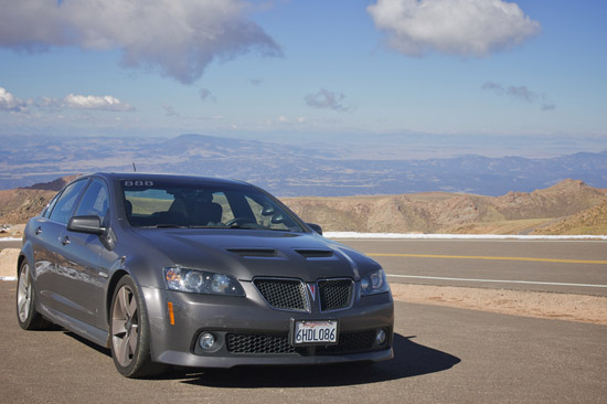
When I reached the summit (14,110 feet) I was feeling a little light headed… I guess that’s why so many of the items in the gift shop said, “Got Oxygen?”! After wandering in circles for a while, I set out to taking some photos to document my expedition.
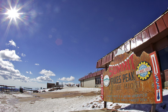
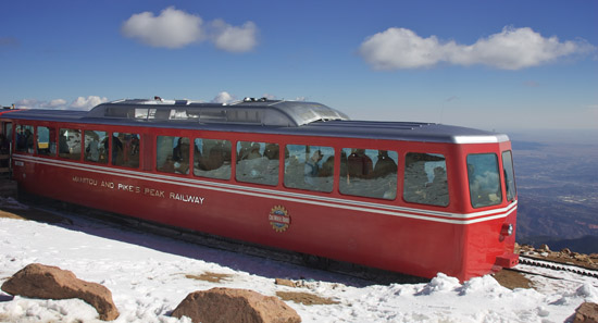
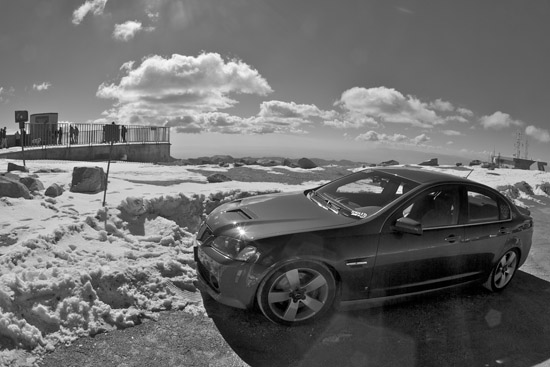
On the way down Pikes Peak I did a great job keeping my brakes from getting too hot, and when I reached the mandatory brake check area the worker just laughed and waved me on. Using 2nd and 3rd gear worked well and my transmission temperature never even went above 200°F. I’m still running my track brake pads (HP+ on front and HPS on rear) so would have been fine even if I’d pushed things.
After finishing the descent I proceeded towards Aspen on my planned route for the day.
Highway 24 had more traffic than I was expecting, but there were still a few places where I could stretch my legs and have some fun. I did a good job avoiding the unmarked police cars and worked my way towards Highway 82 and Independence Pass.
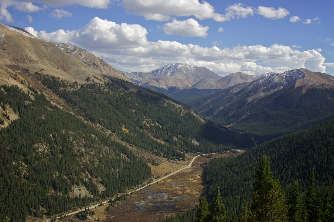
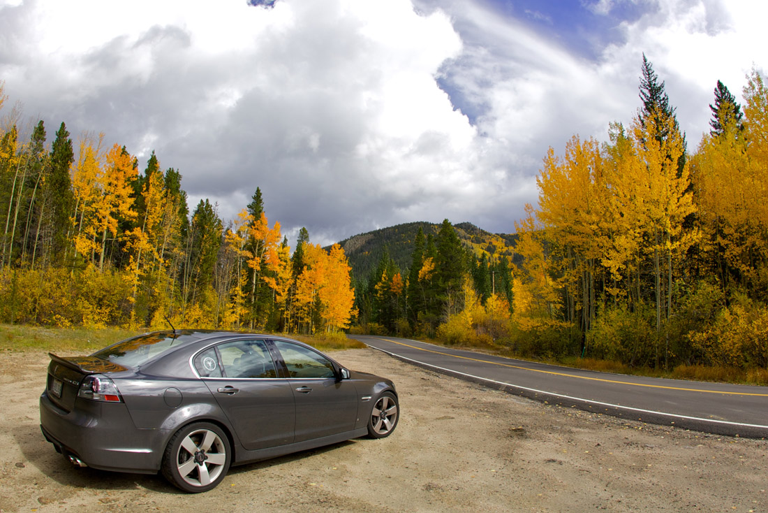
From here I found myself surrounded by “leafers”… which made the roads impossible to drive in a “spirited manner”. Fortunately I too was caught-up with all the brilliant colors and didn’t care that I was creeping along in traffic. Every turn could have been a postcard, so I found a quiet place to stop and take a few photos.
I never planned on being in this area to see the leaves change colors, but I really lucked-out. Add in the great weather for today and I couldn’t have asked for anything more.
Tomorrow I make the drive to Grand Junction (~1.5hrs via I-70), but will do my best to drive as many twisty roads as possible (~5.5hrs)!
-
Road Trip: Day 31
Posted on September 28th, 2012 1 commentDue to the snow/ice on Pikes Peak today turned into a “Recovery Day”… so I recovered! For the first time in longer than I can remember I didn’t set an alarm for this morning. When I eventually rolled-over, debating to get out of bed, it felt like noon… but it was still only 10am.
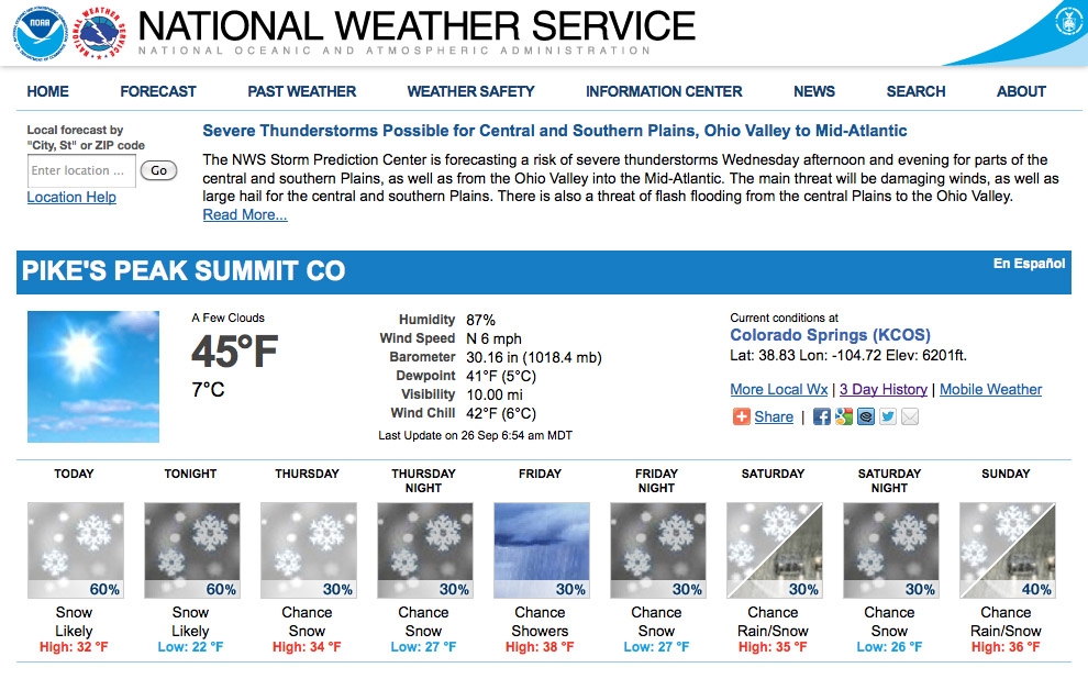
I double-checked the webcams at the summit of Pikes Peak, but despite having a few visitors, there was still too much snow for me to make the trip.
Having a whole day with zero plans, I quickly set to work making plans for the day.
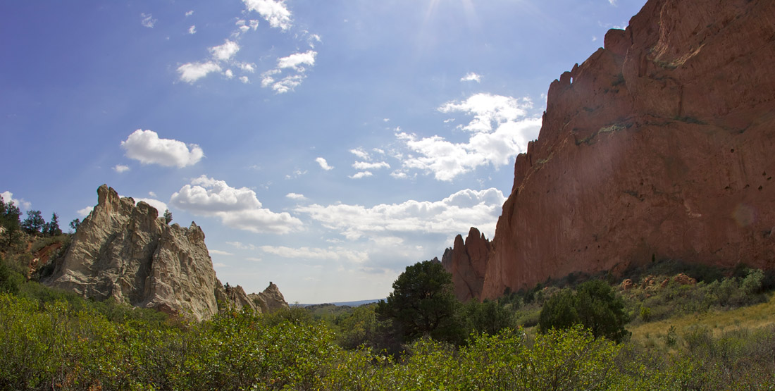
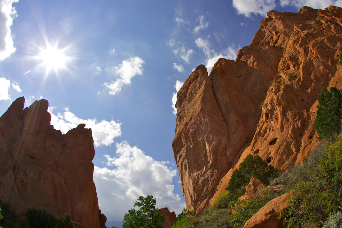
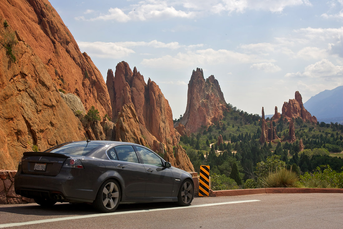
After getting some breakfast I went to Walmart for a new razor then headed to the Garden of the Gods. I had planned on only driving around the park, but after seeing all the great rock formations I parked and walked around a bit.
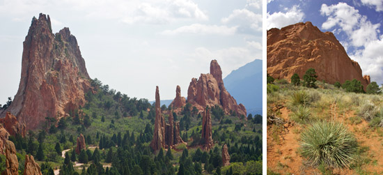
The Garden of the Gods was very impressive, even if it wasn’t a “driving road”. I was even able to find a place to pullover to take my daily photo of the G8.
I’ve been on the road for a month and started to run low on clean clothes, so I headed back to my hotel and did some laundry. With nothing else planned for this evening, I think I’ll relax for a while before getting a good night sleep.
Tomorrow I head back into the mountains of Colorado for some fun on twisty roads. I’ll be going to someplace warm… where the beer flows like wine… where beautiful women instinctively flock like the salmon of Capistrano… I’m talking about a little place called Aspen!
-
Road Trip: Day 30
Posted on September 27th, 2012 No commentsLast night was another filled with thunderstorms… unfortunately this time it was accompanied with hail. ACK! I inspected the G8 in the morning and didn’t see any damage, but I’ll have to take a closer look when I get home just to make sure.
Traffic the morning was heavier than I expected, so I avoided driving into Denver on route to the mountains for some fun driving on twisty roads!
The first road I drove was up and down Lookout Mountain; which was the perfect “wake-up call”. After letting a local Jeep past, I disregarded the 20mph speed limit and had a total blast chasing him down. Have I mentioned before how much I love switchbacks?
The next portion of the drive was on Highway 6 through a deep river gorge. The road closely followed the river, but several times needed tunnels to keep-up. If the speed limit was a little higher it would have been great fun… although it wouldn’t have mattered. The only thing I hate more than slow speed limits are slower drivers! In this case it was exceptionally bad… I’m guessing it was a blue haired person heading to the casinos.
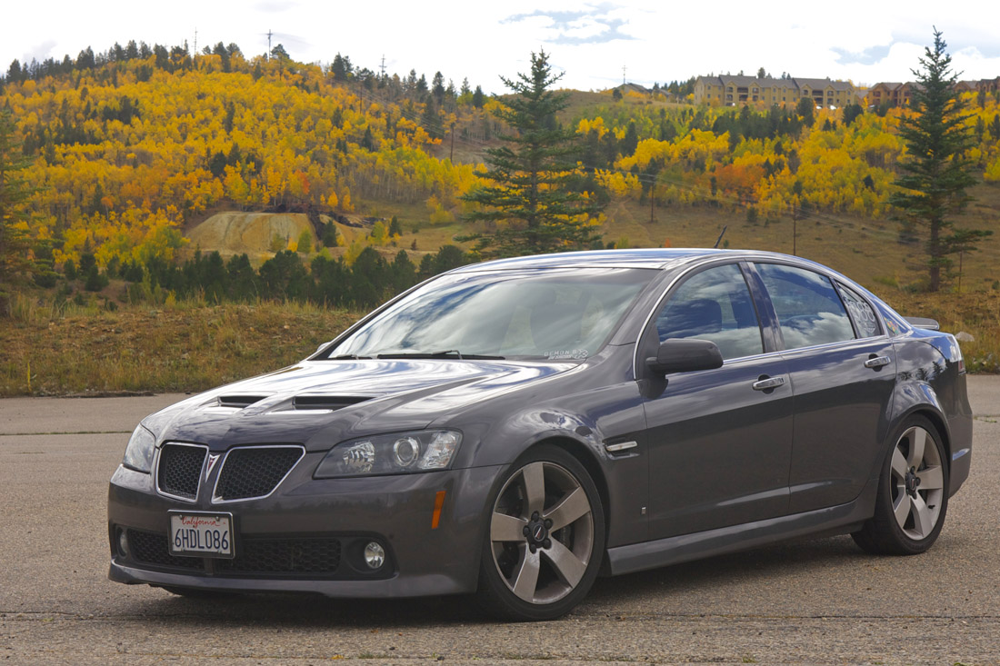
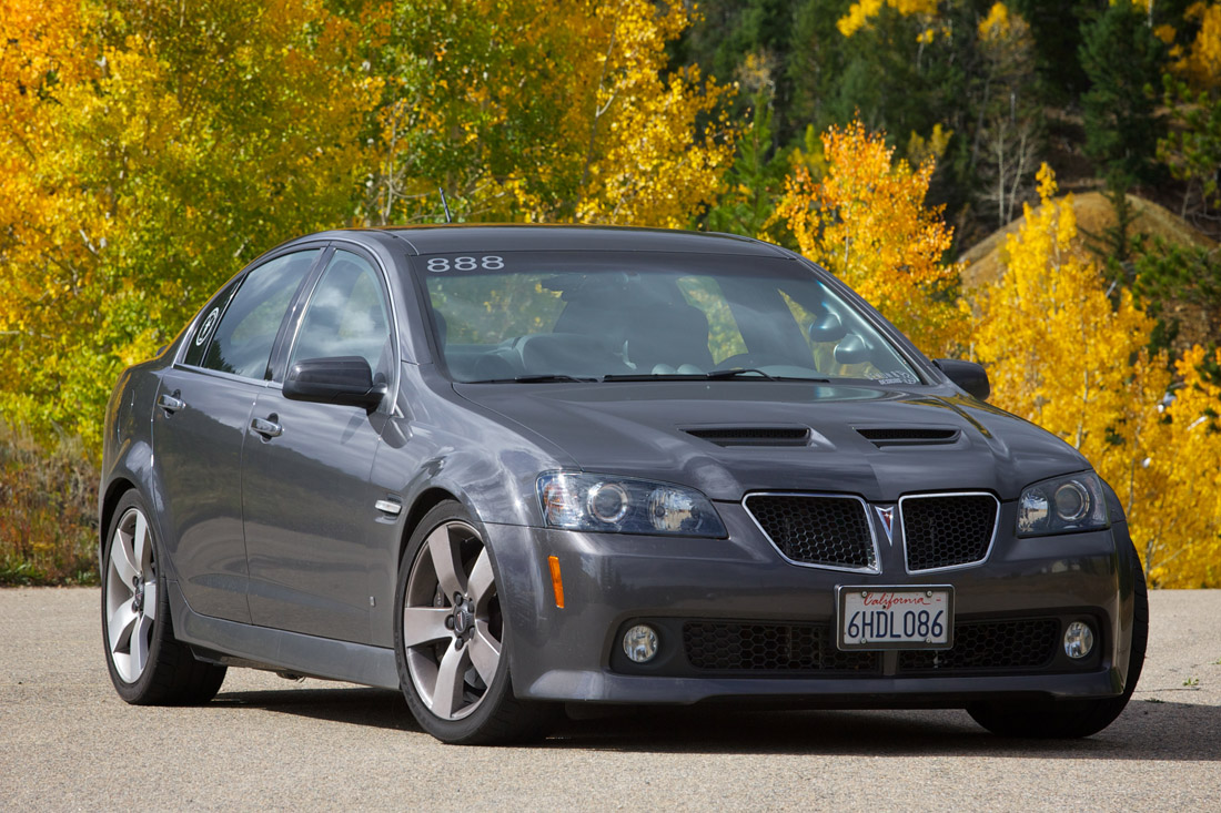
After stopping for breakfast in Idaho Springs I back-tracked a little to “Exit 243” in search of the “Central City Parkway“. While the road wasn’t anything spectacular, the whole area is filled with trees whose leaves have changed to a brilliant golden color. Even with overcast skies it looked like someone had spattered paint across the mountainsides.
The area around Central City and Black Hawk was once known as “the Richest Square Mile on Earth”. It has now turned into a Casino town, but I really liked how it still had an “old mining town” feel.
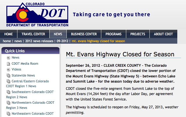
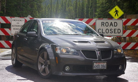 After making my way back into Idaho Springs I started my climb up to Mt Evans. Just as I exited the interstate the sky opened-up and the rain poured-down… reminding me why the road to the summit was closed.
I’m really glad I decided to make the trip, even if to just get a photo in front of the barricade. The drive was beautiful; every corner was a photograph waiting to happen. To make it even more special, the road was steaming from the earlier rain!
The road leading away from Mt Evans was fun and the light dusting of snow (from the rain I experienced earlier) made it even more challenging. I’m running Bridgestone RE-11’s… an “Extreme Performance Summer” tire that is “not intended to be driven in near-freezing temperatures, through snow, or on ice”. I can now vouch that they do not work at all in the snow… seems like a trip up Pikes Peak is out of the question.
I arrived in Colorado Springs early in the afternoon and decided it was time to service the G8. I re-filled the windshield washer fluid and even had the oil changed! What… isn’t it normal for people to travel thousands of miles with 9 quarts of oil and a filter?
Tomorrow I had planned on driving up Pikes Peak, but they are still forecasting a 30% chance of snow. Given how incapable my tires are in the snow, I think I’ll be spending the day recovering.
-
Road Trip: Day 29
Posted on September 26th, 2012 No commentsLast night the weather decided to get dramatic, and not long after I went to sleep a line of thunderstorms passed through the area. This morning there were a few lingering showers, but nothing major.
Today consisted of a very long and boring drive across Kansas and Eastern Colorado. You know it’s going to be a long day when the GPS says, “In 410 miles turn left”!
I slowly worked through the miles, looking at the clock far too often. It didn’t take long for the songs on the radio to start repeating… at which point I quickly realized I’m terrible at karaoke. While I survived, I really don’t know how I’ll be able to make it through the scheduled 9.5hr drive across Nevada on I-50 I’ll be doing in a week!
I drove 7,849 with zero issues, but today I received a “Contact Dealer” alert. At first I thought it was my “Rest Reminder”, but I turned that off last year… and the fuel gauge was showing completely empty. The code that was thrown was P0461 “Fuel level sensor circuit range/performance”. The G8 was running fine… fuel pressure was up, pumps were turning on, etc. I checked the fuel level reading on my DashHawk and it showed 38% (which is where it should have been). I was planning to stop and investigate, but after ~40 miles the alert cleared and the fuel gauge returned to normal. I’ll keep an eye-out for other fuel issues, but so far it seems this was just a hiccup.
As I approached the Denver area I spotted a rain cloud in the distance. I figured it would make for a dramatic background, but before I could find a good place to stop for a photo… I was in the thick of it! At times the rain was so heavy I could feel my tires having a difficult time pushing through the standing water. Fortunately the rain didn’t last long and cleared-out as I arrived at my hotel.
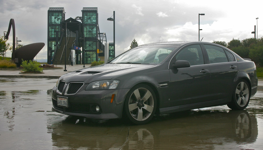
After checking into the hotel I ventured out to take my daily photo of the G8. I tried a few places but with no success. I found a transit station with a cool bridge, but it was in a bus pick-up/drop-off area. Disregarding the “do not enter” signs I swung around, parked briefly, and snapped a few photos.
I had originally planned to spend the next two days in a rental car driving to some of the highest roads in the US, but the weather doesn’t seem to be cooperating.
I’ve rearranged hotels with the hope that maybe the snow will melt, but it’s not looking good. Oh well, I guess this is a good excuse to return to Colorado next year!
-
Road Trip: Day 28
Posted on September 25th, 2012 No commentsToday I had the privilege of spending my morning driving on The Mother Road… Route 66! I had originally planned on just hitting a few places, but last night I decided to drive as much of the route as I could.
Route 66 is a really nostalgic road to drive, with lots of little houses and old farms… my mom would love this area. Compared to the interstate, Rt66 is much more “natural” and flows with the land… but unfortunately all the modern roads make it quite difficult to navigate. Next time I’ll have to pre-load all of Route 66 into my GPS!
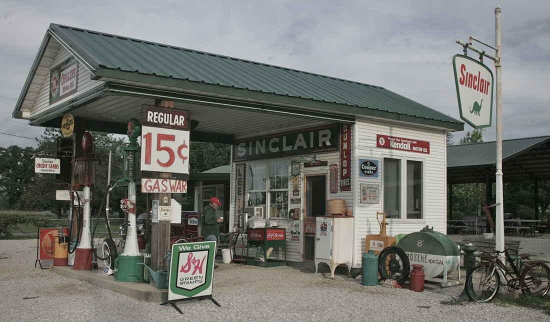
The first stop for today was Gary’s Gay Parita Sinclair Station. I arrived just before 9am and was a little worried that no one would be around, but Gary was there waiting with coffee and doughnuts! I introduced myself and spent the next hour being guided around the garage/station… I even popped the top off some Route 66 Root Beer and sat on the porch sharing stories from the road. Of course I had to take a bunch of photos too!
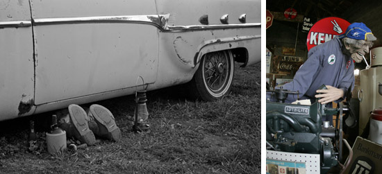
Before departing Gary provided some directions to circumvent the detour up the road. This was really helpful, as I never would have found my way back to Route 66 without his help. He also pointed out how to get to a stretch of the route that’s still the original concrete!
After navigating through the various sections of Route 66 in Missouri I finally made my way to Kansas! Rt66 only travels 13 miles in Kansas, but there are quite a few great places to visit. The best, by far, was 4 Women on the Route.
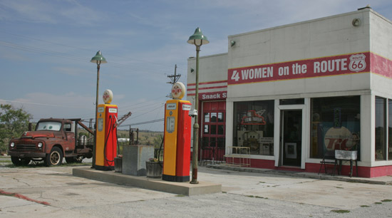
Not only did I see “Tow Tater”, the inspiration for ‘Mater from the movie Cars, I had a great conversation with “Melba the Mouth”.
After leaving Galena I headed to the Rainbow bridge; the last remaining Marsh arch bridge… built of concrete in 1923.
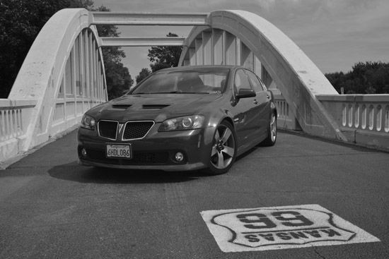
I’ve now driven Route 66 in every state that it travels through! When I get home I’m going to have to track down one of the Route 66 postmark maps. I was tempted to get one today, but didn’t want to risk damaging it.
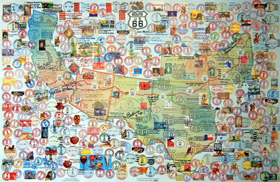
The remainder of my drive was Kansas; and there’s only one thing I need to say about that… there’s a reason it’s the last state in the mid-west to be filled-in on my map! The only good part was the slalom course through the cones in a construction zone.
Tomorrow is another long day of driving across flat ground, but I will be making my way towards the mountains of Colorado for a few days of twisty fun!
-
Road Trip: Day 27
Posted on September 24th, 2012 No commentsFor the first day in several days I didn’t have a list of scheduled activities. As a result I set my alarm for an hour later than normal… and even then hit the snooze button at least three times. Despite all of that I was on the road before 10am, ready for several hours of interstate driving.
There were no planned stops today, but I found a few places along the way to break-up the interstate driving. The first stops were around Springfield, IL and Route 66. After grabbing some breakfast I headed to Shea’s Gas Station Museum, but unfortunately it was closed today (and every Monday). I also tried to go to the Illinois State Military Museum, to get a photo with a tank, but it too is closed on Monday. With no luck at museums I headed to Linclon’s Tomb… they can’t close that!
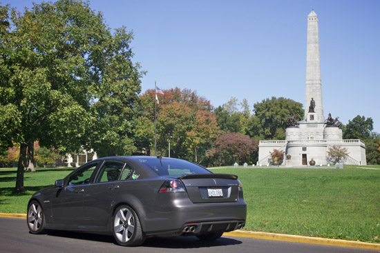
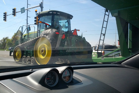 Having driven around and circles for over an hour, I tried to get back on the interstate quickly, but was delayed by some farm vehicles. Only in the mid-West do you have to race a tractor from the stoplights!
I drove several of these roads last year and it was fun to know where I was for a change. I even recognized the section of Route 66 that was under construction last year (and the crazy detour I took). The new bridge looks great!
Most of the route today was quite boring, but I did spend some time looking at the scenery. Besides all the billboards for tourist traps, one of the most prominent features of the landscape are the large water towers in each town. This is something that’s completely lacking from where I’m from, so it’s kinda cool to see.
Speaking of water… this whole area is extremely dry this year. At first I thought the brown corn fields was due to being two weeks later in the season, but it’s a result of a record breaking drought. It’s strange to see knee-high corn fields half harvested, soy fields completely untouched, etc.
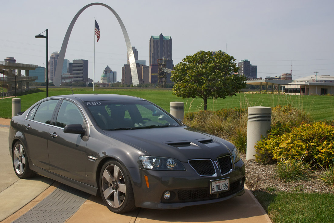
Last night I decided that there was no reason for me to stop at the Gateway Arch in St. Louis again this year, but on the road I called an audible and stopped anyhow.
I know I took an identical photo to last year, but it’s such a nice view! Just for those who want a different angle of the arch… click here.
I made the drive through St. Louis and headed down towards my hotel for the night. For the most part I stayed on the interstate, but there were a few times I pulled-off to enjoy a stretch of Route 66. I even found a nice Rt66 Antique shop where I bought a map of Kansas… I don’t want to miss like I did last year!
Tomorrow I’ll finally drive the short stretch of Route 66 in Kansas. This will also fill-in Kansas on my state map… hopefully ending the “what do you have against Kansas” questions.
-
GONE 2012: Day 3
Posted on September 23rd, 2012 No commentsToday was the final day of GONE 2012. With a morning awards banquet I didn’t get a chance to sleep-in before having to pack-up the hotel. I didn’t have time to eat breakfast, but I did get everything into the trunk of the G8… which is no small feat.
At the banquet the awards for the various car show and drag racing classes, as well as raffle prizes, were handed-out. I didn’t win anything, but it was great seeing all the winners. Before long the morning was over and it was time for everyone to head their separate ways.
I planned on making the trip to Pontiac again this year, and hoped there were be a big turnout like last year, but only 3 cars (including myself) made the trip. I’m sure we made for a strange group… a car from California, one from Oaklahoma, and another from New York. Since I was the only one of the group that had been to Pontiac before (and since I had the route in my GPS) I lead the cruise.
This year we arrived at the Pontiac-Oakland Auto Museum with enough time to really explore.
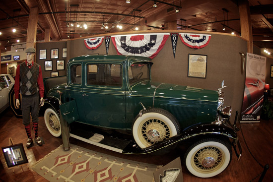
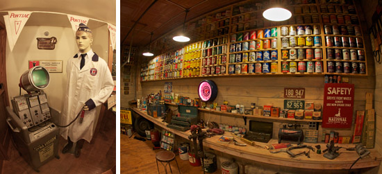

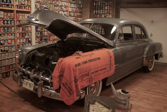
After visiting the Pontiac Museum, and getting some more swag, we headed to the alley behind the Route 66 Museum to take some photos of the G8’s with the various murals.
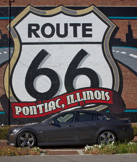
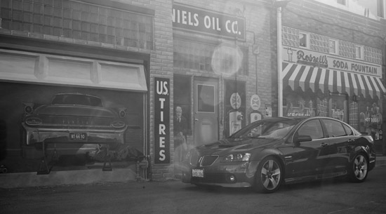
Far too quickly it was time to say goodbye to the other G8 owners and start my trip home. The next few days I’ll be driving across the mid-west on route to the mountains of Colorado. I have to get to Kansas and drive my last section of Route 66 (filling-in my state map), but after that I might be making some modifications to my planned route. It will take me another two weeks to get back to California, but I’m headed that direction.


